
Old Man of Coniston
Height 2633 feet/803metres
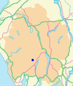
Grid Reference SD 273 978
Area
Birkett - Southern Fells, Coniston Massif - Top No. 53
Wainwright - The Southern Fells
Historic County Top - Lancashire
Nuttall - Lake District, Southern Fells: Walk 5.5
Hewitt - Region 34D: Southern Fells
Marilyn - Region 34D: Southern Fells
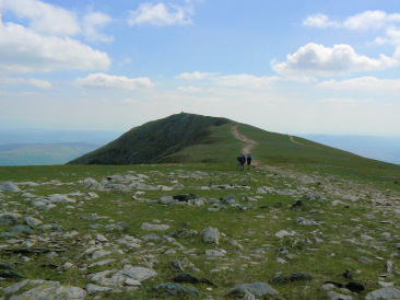
Looking to Coniston Old Man's summit from Brim Fell.
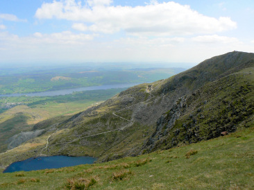
The more popular route to the summit, the tourist track,
which goes through the mines past Low Water.
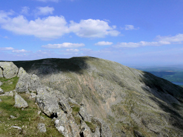
The summit of the Old Man of Coniston, from Dow Crag.
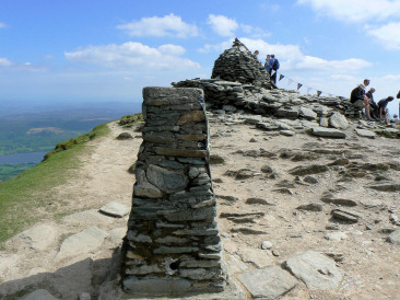
The trig point and shelter on the
summit of the Old Man of Coniston.
Walna Scar Road - Brown Pike - Buck Pike - Dow Crag - Coniston Old Man (CT) - Brim Fell - Great How - Swirl How - Grey Friar (283) - Seathwaite Tarn - Walna Scar Road
Three Shires Stone - Wet Side Edge - Hell Gill Pike (241) - Little Carrs - Great Carrs (242) - Swirl How - Great How - Brim Fell - Coniston Old Man (CT) - Dow Crag - Buck Pike - Brown Pike - Walna Scar - White Maiden (243) - White Pike (244) - Walna Scar Road - Long House
Walna Scar Road - Seathwaite Tarn - Far Gill - Goat's Hause - Old Man of Coniston (CT) - Goat's Hause - Dow Crag (90) - Buck Pike - Brown Pike - Walna Scar Road
All pictures copyright © Peak Walker 2021
©Crown copyright. All rights reserved. Licence number 100045184.